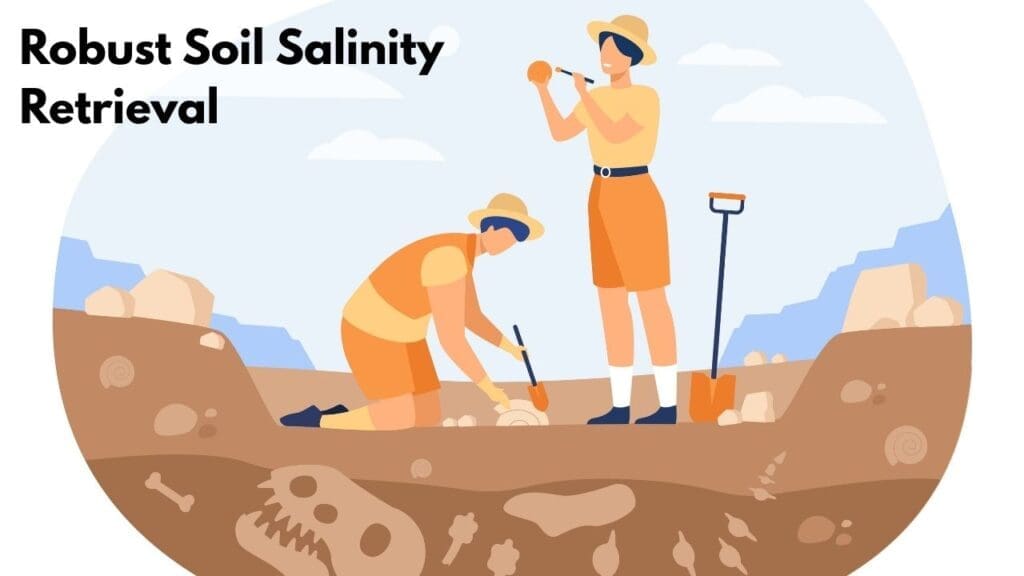
Robust Soil Salinity Retrieval using hyperspectral remote sensing and physically constrained generative augmentation
Robust Soil Salinity Retrieval Using Physically Constrained Generative Augmentation in Hyperspectral Data
Robust Soil Salinity Retrieval is transforming how scientists monitor environmental conditions using advanced space technology. Today, researchers use satellites and hyperspectral sensors to observe coastal ecosystems from above. These sensitive environments face growing threats such as climate change, soil salinity, and land degradation. By analyzing detailed spectral data, scientists can detect changes in soil and vegetation health with greater accuracy. This innovative approach improves our ability to monitor salinity levels and understand environmental stress in coastal regions. As a result, remote sensing technologies are helping researchers and policymakers develop better strategies to protect fragile ecosystems and manage coastal landscapes more sustainably.
How Remote Sensing Works
Satellites orbit high above the Earth. They capture data using light waves. Different plants reflect light in unique ways. This allows experts to map vegetation accurately. At this time, we can see changes in real-time. This is another key point for science.
At first, researchers used simple cameras. Now they use hyperspectral imaging. These tools detect stress in mangroves and marshes. This happens prior to any visible damage. To explain, the sensors find invisible patterns. This tech is analogous to having a super-power.
STEM Careers in Space
Do you like coding or nature? This field combines both worlds. To enumerate, you could be a data scientist. You could also be an environmental engineer. Many jobs involve satellite data analysis. So far, this market is growing fast.
To point out, you need math skills. You also need a curious mind. To illustrate, look at our educational resources at entechonline.com. You can learn about engineering paths there. All in all, it is a great career.
Artificial Intelligence Meets Ecology
Computers now help satellites think. In reality, they use machine learning. These algorithms identify plant species quickly. At the same time, they track sea-level rise. With this in mind, we can plan better.
In short, AI makes data useful. Up to now, humans did this slowly. Now, machines do it at this instant. While this may be true, humans still lead. We must interpret what the AI finds. This is in fact a team effort.
Mapping the Blue Carbon
Coastal plants store lots of carbon. We call this Blue Carbon. So long as these plants live, they help. They keep our planet much cooler. At length, this prevents global warming.
In essence, we must save wetlands. Satellites tell us where to focus. To be sure, this is vital work. Explore more environmental news at entechonline.com for updates. As a matter of fact, you can help too.
The Future of Coastal Science
Sooner or later, every coast will have a digital twin. This is a virtual map of nature. In like fashion, we can predict storms. With this purpose in mind, cities stay safe. All things considered, technology is a shield.
To sum up, STEM saves our oceans. To that end, we need new innovators. This time, you can be the leader. In light of these advances, the future looks bright. At last, we are winning.
Robust Soil Salinity Retrieval: Conclusion
The study demonstrates that combining physically constrained generative data augmentation with hyperspectral remote sensing data can significantly improve soil salinity retrieval under conditions where sample data are limited and spectral features are highly complex. The proposed approach enhances model accuracy and robustness by generating realistic training samples while preserving the physical characteristics of soil spectra. As a result, the method effectively addresses the challenges of high-dimensional hyperspectral data and small ground-truth datasets. Overall, the research shows strong potential for more reliable large-scale soil salinity monitoring and agricultural land management using remote sensing technologies
Future Prospects
Future research can further expand the proposed framework by integrating advanced artificial intelligence and multi-source remote sensing technologies to enhance soil salinity monitoring. Although the study demonstrates that physically constrained generative data augmentation improves hyperspectral model performance under small-sample conditions, future work could incorporate larger datasets from different climatic regions to improve model generalization and reliability. Integrating satellite platforms, drone-based hyperspectral sensors, and ground measurements could also enable more precise large-scale salinity mapping..
Additionally, to stay updated with the latest developments in STEM research, visit ENTECH Online.
Reference:
- Yu, S., Su, L., Du, W., Wuyun, D., Gao, H., Yu, L., Zhao, Y., Ruhan, A., & Li, R. (2026). Robust soil salinity retrieval under Small-Sample and High-Dimensional hyperspectral conditions via physically constrained generative augmentation. Remote Sensing, 18(5), 759. https://doi.org/10.3390/rs18050759
- Author
- Latest Posts
I completed my Master of Science from the University of Allahabad in 2017 with a strong academic background in life sciences and chemistry. My specialization included Molecular Biology, Microbiology, Genetics, Plant Breeding, Phycology, Paleobotany, and Bioinformatics, along with Organic Chemistry, Inorganic Chemistry, and Physical Chemistry. This multidisciplinary training provided me with a comprehensive understanding of biological systems and analytical scientific approaches.
After completing my postgraduate studies, I gained valuable professional experience in both the education and social development sectors. I worked at A.M. Oxford Public School, where I was actively involved in guiding students toward academic excellence. In this role, I focused on creating an engaging learning environment, encouraging critical thinking, and nurturing students’ curiosity for scientific learning. My experience as an educator strengthened my communication, mentoring, and classroom management skills.
In addition to my teaching experience, I worked with Jeevan Jagriti Foundation, where I contributed to community-based initiatives aimed at improving educational access and awareness among underprivileged sections of society. Through this work, I participated in programs designed to support social development and promote the value of education in marginalized communities.
These professional experiences helped me develop strong interpersonal, leadership, and organizational skills while reinforcing my commitment to education and community service.

